Baltic Vessels Linked to Increased GPS Interference
A study conducted by Polish researchers suggests that moving vessels in the Baltic Sea are behind a surge in GPS disruptions throughout the region.
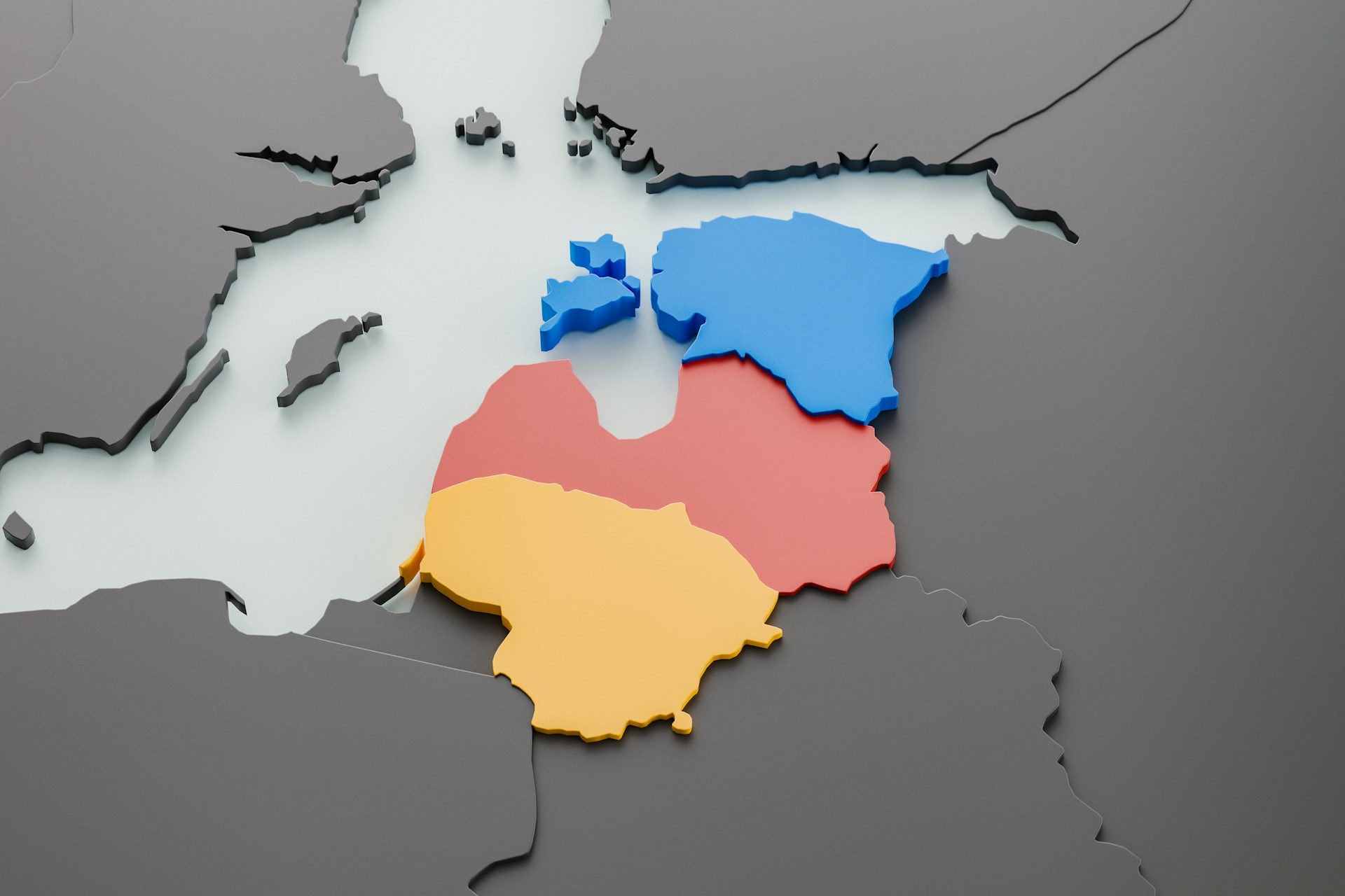
The investigation utilized a sensor installed at Gdynia Maritime University in northern Poland, approximately 120 km from the Russian exclave of Kaliningrad. This sensor monitored GPS activity over a six-month period starting in June of last year, though its coverage was limited to the Gulf of Gdańsk rather than the primary east-west sea lanes where most traffic transits.
During the monitoring period, the sensor detected a total of 84 hours of GPS interference, with October alone accounting for 29 hours. Some of these disturbances lasted as long as seven hours, a duration that can significantly impact navigation in narrow waterways.
“Given the system’s radio horizon, which primarily covers a portion of the Baltic Sea, and assuming that the interference source was not located within Poland’s borders, the most plausible explanation is that the jamming originated from a vessel in international waters,” the researchers concluded.
Earlier reports have noted the discovery of specialized equipment on shadow fleet ships, including the Eagle S—a tanker implicated in the severing of a cable in December last year.
“To mitigate these risks, there is an urgent need for a dedicated GNSS interference monitoring network along the Baltic Sea coast. Such a network would provide real-time, localized data to accurately assess threats, detect interference sources, and enhance infrastructure resilience against GNSS disruptions,” the study's authors, compiled by GPSPATRON and Gdynia Maritime University, warned, cautioning that failure to act could result in “severe operational and security consequences.”